


Boundary and topographic surveys comprise the initial phase of many types of design projects. Unlike some other engineering firms, ERI utilizes our own in-house land surveying capabilities to provide this crucial support for our civil engineering and environmental work. Our clients benefit from this full-service, integrated and comprehensive approach to providing professional services. ERI provides this team-focused approach, using the most modern equipment and techniques, to be able to provide the most accurate, economical and efficient product for our clients.
We also offer land surveying services as a stand-alone service to many clients as their needs require.
ERI is experienced in providing an array of survey services including:
- ALTA / Land Title Surveys
- As-built Surveys
- Capacity Surveys for Landfills
- Cell Tower Site Surveys
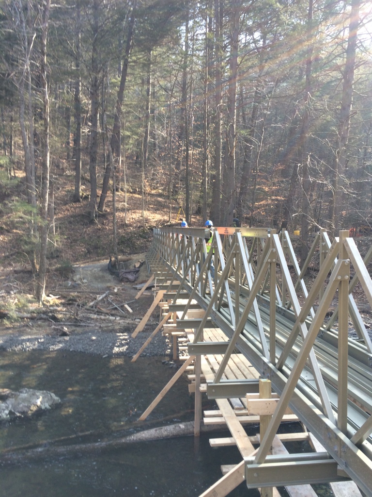
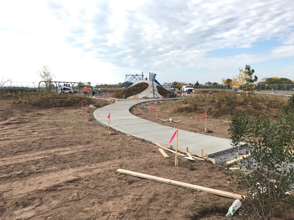
- Construction Stakeout
- Deed Research
- Easement Exhibits and Descriptions
- Farmland Preservation Easement Surveys
- Flood Plain Surveys and Elevation Certificates
- GIS Mapping
- GPS Surveying
- Green Acres Surveys
- Legal Descriptions
- Monitoring Well Location and Elevation Surveys
- New Jersey Tidelands and Mapping
- Open Space Acquisition Surveys
- Outbound Surveys
- Parcel Acquisition Maps
- Road Cross Sections
- Subdivisions Plats
- Tax Maps & Map Updates
- Title Surveys
- Topographic Surveys
- Utility Maps and Map Updates
- Wetlands Delineation and Mapping
